Skip to main content
Hit enter to search or ESC to close
Close Search
0
Menu
Home
About
Rides & Routes
Shuttling Services
Products & Service
Learn to Ride!
Ladies, let’s ride!
Kids on Bikes
0
was successfully added to your cart.
Menu
Rides and Routes
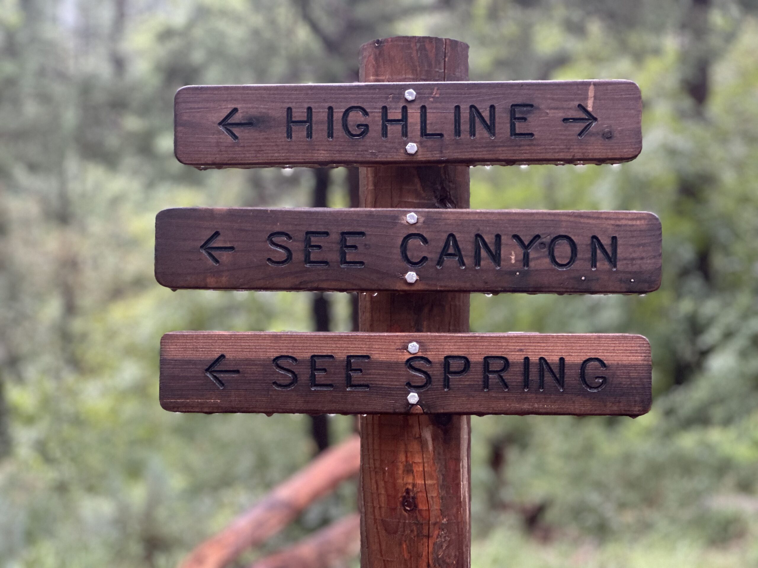
Highline Trail: 260-Pine
One-Day Riders:
Brian Cook-FKT-6:47:34
Dexter Kopas
Patrick Broughal
Micah Utterback
Mac Vorce (Local Legend)
Patrick White
Scott Davidson
The Highline Trail is 62.8 miles of newly refurbished trail that winds through the Tonto National Forest, just below the Mogollon Rim.
With incredible views and fun, challenging single track, it connects 5 main trailheads between Tonto Valley and Pine, Arizona.
For more information on the Highline Trail, visit the
U.S Forest Service.
To find out about shuttling services for a Highline adventure, and learn about Highline Trail segments, see our
Shuttling Services.
Rim Country Trails
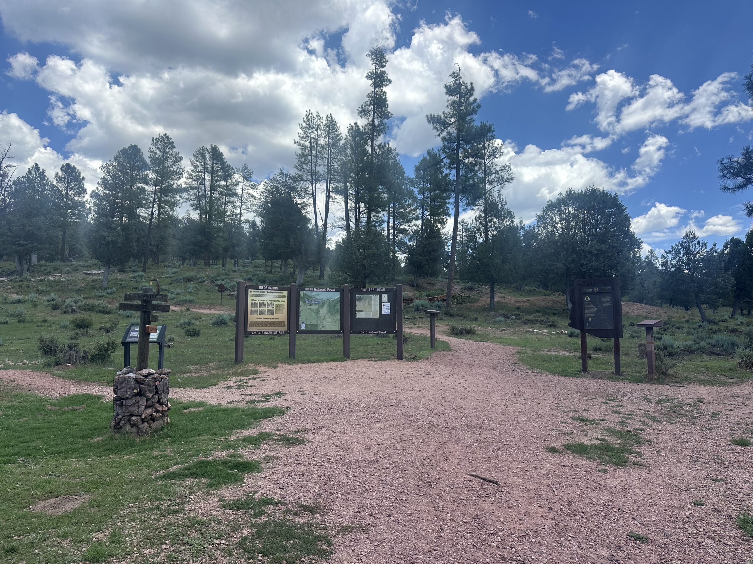
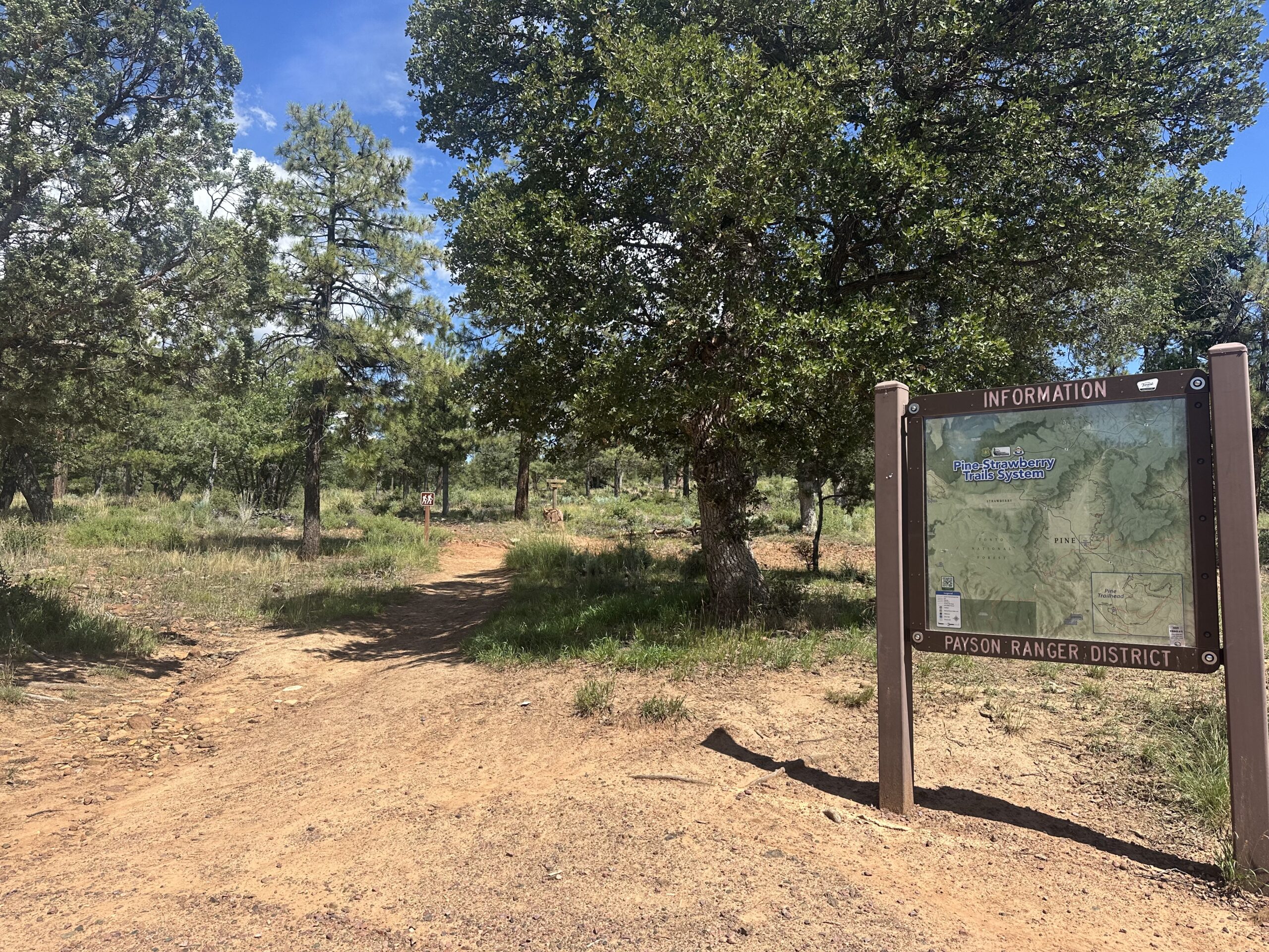
Pine Trailhead
Upper and lower Pineveiw
Highline: West Trailhead
Pine – Strawberry Loop
Firewise Trail
Buckshot connection
Strawberry
Pine-Strawberry Trail 15
Two Ravens
Strawberry Mountain
Bearfoot
Bob Bear
Fossil Creek
Payson
Highline
Peach Orchard
Boulders/Granite Dells
Ubuntu
Longhorn Bike Park
Houston Mesa
Payson and Pine – Routes we Ride.
Fire on the Rim training ride.
See Strava Route
Peach Orchard: The ride that keeps on giving.
See Strava Route
Pine Canyon / Bearfoot
See Strava Route
Highline Trail: 260 to Pine.
See Strava Route
Town Ride
See Strava Route
Houston Mesa
See Strava Route
Town / Houston Mesa / Road Ride
Super fun!
see strava route
Some Dirt / Some Road
see strava route
For local guided bicycle tour information:
axiscycling.com
Close Menu
Home
About
Rides & Routes
Shuttling Services
Products & Service
Learn to Ride!
Ladies, let’s ride!
Kids on Bikes