Highline Trail: 260-Pine
One-Day Riders:
Brian Cook-FKT-6:47:34
Dexter Kopas
Patrick Broughal
Micah Utterback
Mac Vorce (Local Legend)
Patrick White
Scott Davidson
Highline Trail: Point to Point Information
260 Trailhead to See Canyon: Approximately 9 miles
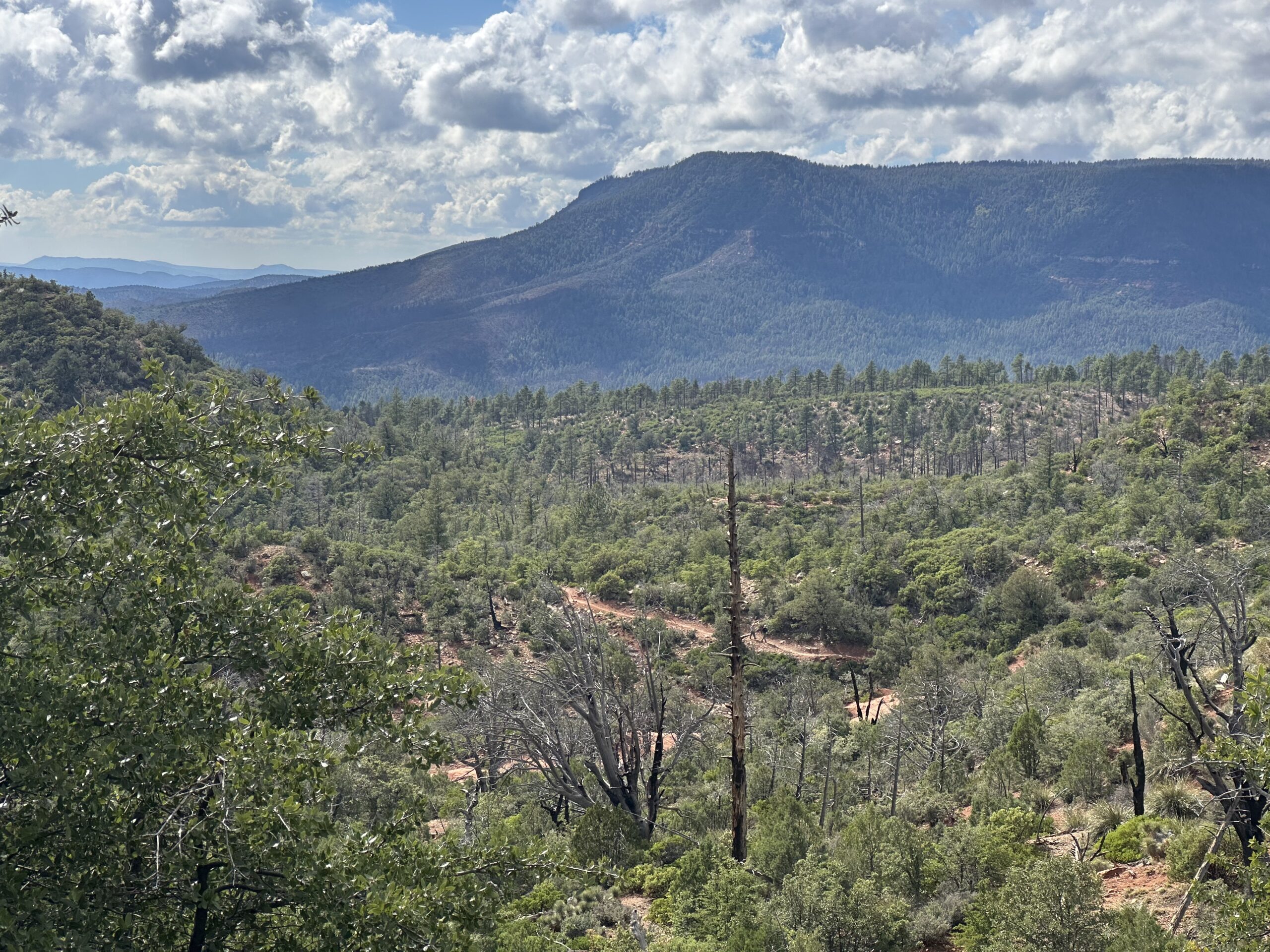
This is a very popular trail as it is easily accessed on both ends, and has been redone to increase flow and ride-ability. Short, bursty climbs and a long flowy downhill from the gate. Winds through beautiful pine forests. Finish with a gravel road downhill.
See Canyon to Tonto Hatchery: Approximately 12 miles
This is one of least talked about sections of the Highline, with lots of rewards. There are a few technical rock sections, but they are short. Gorgeuos, flowy single track through the Tonto Forest. There is water available at Horton creek.
Tonto Hatchery to Washington Park: Approximately 23 miles
This piece is called the “Inner Sanctum”. It has the least amount of elevation compared to other sections, and offers incredible views of the Mogollon Rim while experiencing the peace and raw beauty of the Tonto Forest.There is water available at Bonita Creek. Hike up the trail about 1/4 mile and drink right out of the mountain.
Washington Park to Geronimo: Approximately 10 miles
This section is a very enjoyable, slightly more technical piece. It is the rockiest section of the Highline, but the rewards are views of “Geronimo’s Temple”, and the Mogollon Rim. It finishes with a descent to Geronimo Creek.
Geronimo to Pine: Approximately 9 miles
This section starts with a long, sustained climb. It is very rideable all the way as the grade was built with mountain biking in mind. Once at the top, enjoy views of the Mogollon Rim. There is one short, technical rocky descent, then you wind your way through Tonto Forest down into Pine, and the finish.